 |
| The view of Mt Walsh on the drive in from Biggenden. |
My first walk for 2017 turned out to be a bit of a ball breaker. The climb to the top of The Bluff in Mount Walsh National Park is fairly grunty anyway but doing it in the middle of the day in a hot and steamy Queensland summer upped the ante a bit more. Oh yeah and this was actually New Years Day so I hadn't exactly had a restful nights sleep the evening before. Leaving my outlaws place in Bundaberg my first objective for the day was to procure for myself a double shot mega sized iced-coffee, I'd always wondered why the take-away fridges were always full of iced-coffee's in our northern states and the penny dropped on this visit north, it's hardly a revelation but its just too bloody hot to sit down for a normal coffee a lot of the time so if you are craving your caffeine fix then ice-coffee is the logical way, we'll unless no-doz is your thing I suppose.
 |
| The route starts off at the back of the picnic area. |
Suitably wired on caffeine I found my way to the car park at the start of the climb. Now as is usual in this part of Queensland information on the walk was a little thin on the ground, I'd read the very brief notes on the Qld Parks site, but apart from that the only other pearls of wisdom that I'd been able to garner were from an old post on the Australian Bushwalking Forum, which suggested a tough and very indistinct climb was ahead of me. So setting off up the rocky track I was a little apprehensive about what was to come, not sure if I'd actually be able to navigate my way through the numerous rocky bluffs to reach the top. Initially though all was good as the route climbed at a fairly solid gradient up through fairly open forest towards the rocky outcrops that no doubt signalled the start of the harder stuff.
 |
The climb starts off steeply and pretty much stays that way for the rest of the climb.
 |
| Hmmm, this looks serious, I pushed on anyway. |
|
Coming to a sign warning that to venture onwards I should be an experienced bushwalker, I battled on regardless, soon arriving at the base of the first huge rock slab. Resting against the slab in the shade of a gum tree I guzzled a bit of water, so far the climb had been fairly steep but fairly easy, looking upwards I could see that things were going to ramp up a notch though. The good news was that the route looked fairly well defined, I could see the odd marker leading up a large fault line in the granite. Eventually I could procrastinate in the shade of my gum tree no longer, the day wasn't going to get any cooler. Climbing very steeply onto the granite the radiant heat had me wondering if I'd actually get to the top, initially I'd been worried about finding a route through the precipitous bluffs but now I was actually there I was more concerned with the heat.
 |
Resting on the slab at the start of the really steep stuff.
 |
| The initial scramble climbs up this fault line. |
|
With frequent stops I slowly zig zagged my way up the rock, the good news was that the views were now getting very extensive so it wasn't actually a hardship to stop and take it in for awhile. The route to the top was actually pretty straight forward with a few markers and cairns marking important points. The rock itself was steep but there was always good hand holds even on the steepest sections, after the initial smooth slab things were easy for awhile until I had to climb up a steep gully which like the slab require the use of hands occasionally. After climbing up a slightly wider gully that was home to some impressive grass trees I was soon on the broad summit of The Bluff taking in the view.
 |
At least I had plenty of excuses to stop and take in the scenery on the climb.
 |
 |
| The last really steep chute before reaching the broad summit had quite a few grass trees growing in it. |
|
|
The summit was a lot flatter than I'd imagined and with a bit more time up my sleeve, and a cooler day, the summit area would be a great place to spend a few hours exploring. Today though I kept my exploring to the immediate area, the views along the edge of the range were particularly good especially with the occasional old grass tree to add a bit of interest to my photos. The top of The Bluff also had it's own humpy, if anyone has read a few of my posts they may have noticed that I like to photograph humpys that I come across in my travels, I'm not exactly sure what's going on with the profusion of these bush shelters around the place but there definitely seems to be a lot more of them then around than there used to be.....we'll since the white man arrived anyway.
 |
There is no shortage of grass trees on the summer as well.
|
With the day getting hotter and my water getting lower I started the steep walk back down to the ute. It's actually on the descent that I really noticed how steep the gradient was, the narrow chute required me to down climb using my hands while fishing around with my feet for some purchase on the rock. All was good though and I was soon off the rock and meandering my way back down to the car park through the open dry woodland, you have to be a little careful along here as it would be easy to relax and become complacent but the route is steep and slippery virtually all the way down. It was with some relief that I jumped into the ute and cranked up the air-con, driving back out through the dry paddocks I glanced at the ambient temperature readout on the dash, 35 C might not sound that much but add a fair dose of humidity along with a decent climb and it tested me today, but then again it might just be that I'm fat and old!
 |
 |
The view along the range offered plenty of opportunities for more exploration.....one day!
 |
| Looking back down to the car park. |
|
|
The Dirt.
On this climb I walked 5.3 kilometres and climbed 454 metres, the statistics maybe don't really accurately portray the difficulty I had today. The heat really knocked me around on this walk for some reason, we were on the back end of a Northern Territory trip so I should have been acclimatised but the bare rocky slabs took it out of me. Having said all that I'd rate this as a medium walk, I was up and down in around 3 hours and was still able to back up with another stroll in the afternoon so I wasn't exactly broken (well no more than normal!), but it was definitely harder than the distance and climbing would suggest. As I mentioned earlier, information is a little thin on the ground for this walk, my main source of information was from the
Qld Parks site.
Relevant Posts.
 |
There were plenty of excuses to stop and take it in on the way down too.
 |
| Yeah, but it was a bloody hot 35! |
|
 |
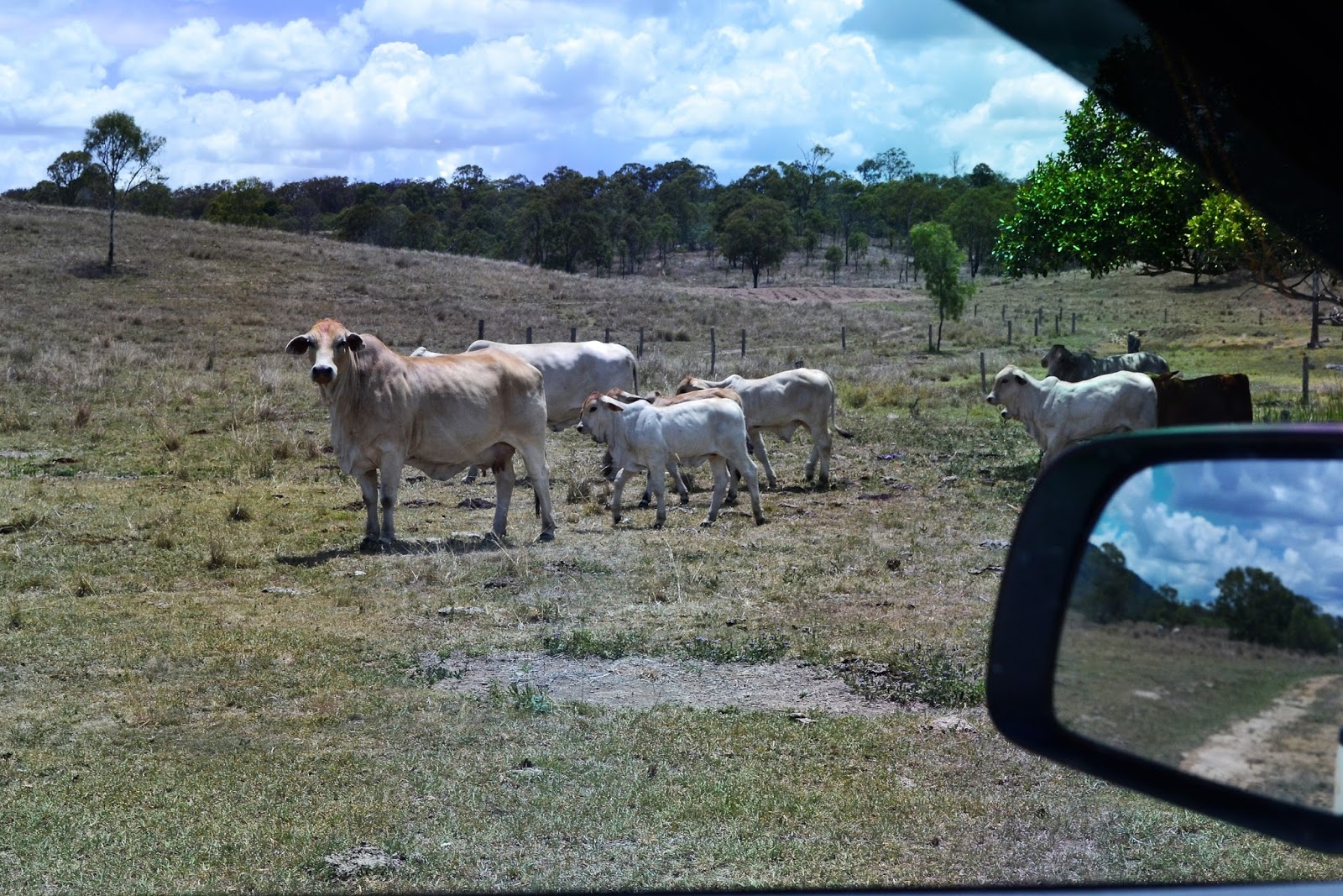
| Even the locals were looking for some shade. |


No comments:
Post a Comment