 |
| The mountains around this part of Victoria are very much on the steep side. |
I've looked at this walk a few times over the years but have never actually got off my ever expanding bum and made the six hour journey out to McKillops Bridge to do the walk. I have been through the area in a 4wd though so I had a fair idea what was in store for me once I left the banks of the Snowy River, yep the mountains up here are some of the steepest in the Victorian Alps I think, maybe only rivalled by the Wonnangatta - Moroka area. Anyway, that's all subjective waffle really, but if anyone reading this waffle ever decides to head to McKillops Bridge then this waffle will probably come into sharp focus as you drive down McKillops Road. While this road is easily driven by a 2wd it's a fairly intense drive, with narrow blind corners galore and drops off the side that you won't be coming back from, it pays to take it slow and steady and hope that anyone coming the other way is doing the same.
 |
| I hope it's still here when I get back tomorrow. |
A little over six hours after leaving home I rattled over the 255 metre long, heritage listed McKillops Bridge and parked the ute at the day use area on the eastern side of the river. Now with this walk being so far from home I had decided to do it as an overnight walk, this would not only allow me to test out a few new pieces of gear before my AAWT walk but also allow me to take my time and enjoy the country. To replicate the weight that I'd be carrying on the AAWT I loaded my pack up with seven litres of water, so it was a bit of a shock to the system when I hauled the pack onto my back and set off today. Not to much of a shock though as I only journeyed around twenty metres before dropping the pack and wandering out onto the long wooden deck of McKillops Bridge, this bridge has to be twenty metres above the river level and was built that high after the first bridge on the site, which was less than three metres lower, got washed away in a flood before it even could be officially opened. Gazing at the Snowy River cascading below me through the wooden slats on the deck it was a little sobering to imagine the water in the river coming up so high, something that will never happen now due to 99% of the rivers flow being diverted by the Snowy Mountains Scheme into the Murray River.
 |
McKillops Bridge is an impressive old structure for the middle of nowhere!
 |
| The Snowy River flowing under McKillops Bridge, the original bridge which was just under 3 metres lower than this one got washed away in a flood less than a year after being built. |
|
Shouldering my pack again this time I set off in earnest, picking up part of an old nature trail before starting up the more substantial Deddick Trail. The country around here is fairly dry and a lot of the flora reminded me of walking in some of our semi arid environments, the cypress pines scattering the hill sides reminded me of the Flinders Rangers in spots. Deddick Trail is a 4wd trail but thankfully the tracks in the high country are generally closed up until Melbourne Cup Day so I wasn't sharing the trail with any of my 4wd brothers and sisters, it's one thing slogging up a track in the sun carrying what feels like a ton of bricks on my back, it's another thing altogether doing it while choking on dust as 4wd after 4wd rattles past. After passing tomorrows return route off to my right, Deddick Trail swung south east and started climbing up the side of Deddick Valley, the open farmland leading down towards the Deddick River being visible through the trees.
 |
Deddick Trail.
 |
The views were a constant as I climbed Deddick Trail.
 |
I'd actually be climbing this ridge tomorrow.
 |
| Looking down into the Deddick Valley from Deddick Trail. |
|
|
|
Deddick Trail stayed in the tree line as it climbed up the side of the valley, eventually coming to a hairpin bend were it swung to the south west. This hairpin bend also marked the spot where the trail got serious about climbing. I was now shuffling fairly slowly as I gained height quickly (if that makes any sense), the erosion mounds on the 4wd track providing short periods of relief on the climb. The good news though was that the views in most directions were stunning and include McKillops Bridge and the Snowy River, now a long way away, Mount Tingaringy was also drawing the eye. If I squinted into the sun I think I could make out the snow topped summit of Mount Cobberas Number 1 across the receding blue ridge lines.
 |
These erosion mounds gave me brief respite on my climb.
 |
I'm thinking the snow capped mountain in the distance is Cobberas Number 1 (although it could also be The Pilot?).
 |
 |
I've come a fair way - high up on Deddick Trail.
 |
| Deddick Trail nearing the intersection with Silver Mine Track. |
|
|
|
|
Eventually my climb topped out as I met up with Silver Mine Track on a bit of a knoll. Silver Mine Track is a closed management track and it was my route back down to the bank of the Snowy River. As the name implies this area was mined back in the early 1900's and as Silver Mine Track makes its way down to the river it passes by a couple of gated old mine shafts. Apart from the mining history the other notable thing about walking down Silver Mine Track was the number of Cootamundra Wattles flowering in all their glory, the blaze of yellow is a stark contrast to the greens of the Australian bush. It's a fair distance down Silver Mine Track from its intersection with Deddick Trail and while the upper sections are pretty steep and the spur pretty pronounced the lower sections made for easier walking in more open country, looking quite nice in the mid afternoon light.
 |
Silver Mine Track passes a couple of these old silver mines.
 |
The Cootamundra Wattles high up on Silver Mine Track were a bit of a feature today.
 |
Lower down the spur opened up a bit.
 |
| Silver Mine Track is a management track. |
|
|
|
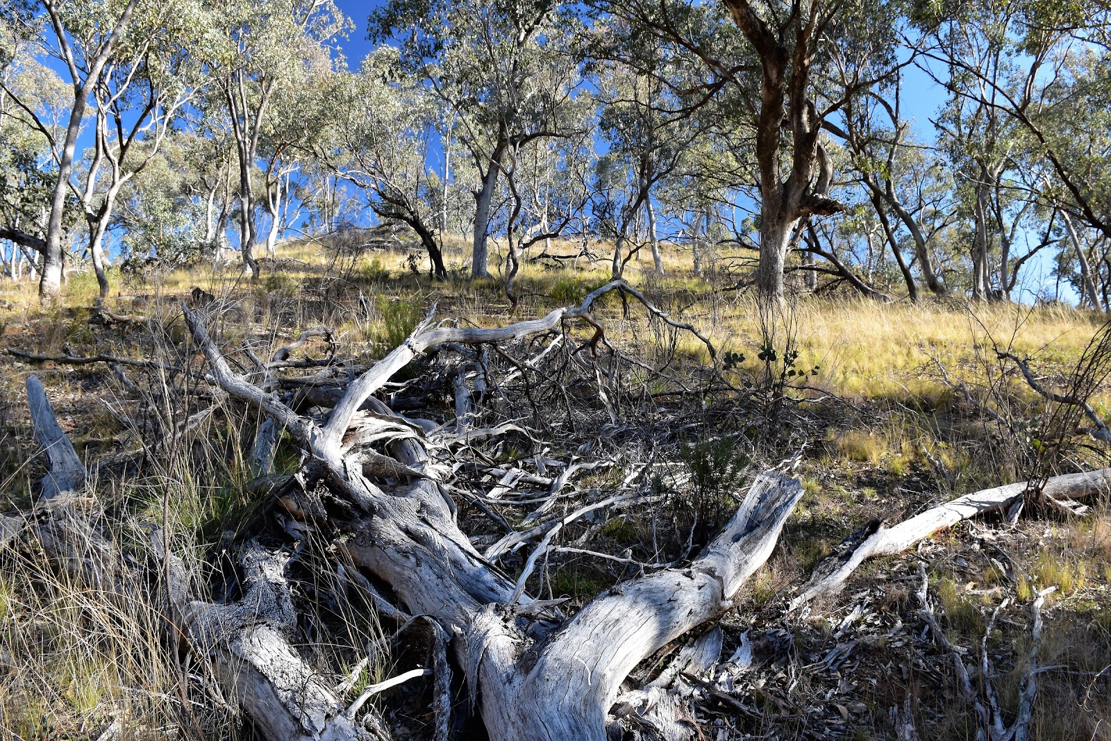
I emerged at the Snowy River almost underneath a huge fly fox, I'm not sure what the relevance of the flying fox is as there's no reference to it on my notes or on my map, it would be a wild old ride if you had to use it though as it must be at least 100 metres across. To be honest the Snowy River environs were a little bit of a disappointment on this walk, the river is choked with weeds, probably because there is no substantial flooding coming through now days with the hard won environmental flows still being held back by vested interests. The other problem is that the area was caught up in a big bushfire in February 2014 and it looks like the weeds and thistles have come back a lot quicker than the native flora. Now there is two ways to tackle the next section as I headed up to the walkers camp, you can walk the sandy bank of the river or the grassy terraces just above. I chose the second option and walked and intermittently marked pad up stream, now while the pad was only occasionally marked it was adequate to get me there safely with the crucial bits always having a marker.
 |
I've just arrived onto the bank of the Snowy River. I'm not sure of the significance of this flying fox but it would be a wild old ride.
 |
| The reasonably open grassy terraces above the river made for pretty easy walking. |
|
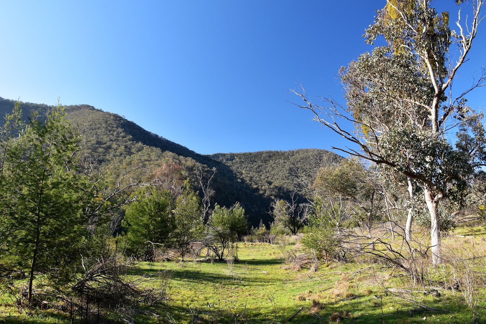
Arriving at the walkers camp it was obvious that this spot hadn't escaped the fires, my notes mentioned a sign post, fire ring and rudimentary seats, but now days it's just a basic bush camp with nothing in the way of bush furniture, not that it worried me too much. What was a little more annoying was the amount of thistles, it took a little mucking around to find a flattish spot to pitch the tent. The good news was the position though, with the Snowy River languidly flowing it's way to the sea just though the trees and mountains and rocky bluffs hemming me in, it wasn't a bad spot to sit a relax for the remainder of the day. Now today had been a nice warm blue sky day but with the sun sinking below the surrounding mountains the temperature plummeted. After eating dinner there would be no lingering outside tonight, climbing into my welcoming sleeping bag before it was even completely dark for a long night of rest.
 |
The sun disappeared quite early in this deep river valley.
 |
| Your Feral correspondent looking pretty second hand after another long day. |
|
The Dirt.
I walked 11.4 kilometers at an average speed of 3.2 kph today, with 491 metres of climbing involved and a reasonably heavy overnight pack on my back I'd rate this as a medium grade days walking. As I mentioned above, McKillops Bridge is a long way from Melbourne, allow at least 6 hours to get there. Oh yeah, McKillops Road is a seriously daunting stretch of road, while doing this post I did some googling on McKillops Bridge and came across plenty of information about McKillops Road on a site about Australia's most dangerous roads, not to mention some hair raising You Tube videos. I carried all my water for this walk mainly because I wanted to try out my new pack but you can obviously get water out of the Snowy River, although I wouldn't drink it without treating. The walkers bush camp at GR 242943 is pretty rough and ready, although the setting probably makes up for a few rough edges.
Relevant Posts.
 |
| Time for bed.... |


No comments:
Post a Comment