 |
| The Mitta Mitta River valley on my drive up. |
Mount Jagungal is the most northerly 2000 metre mountain in Australia, and because it is a little isolated from most of its 2000 metre brothers on the Main Range it makes for a reasonable climb with a good view to finish off with. This was my first visit to Mt Jagungal, I'd driven past the trail head a few times but never ventured far from the road, on this walk I was heading out for two days to have a bit of a poke around the Jagungal Wilderness Area and hopefully climb the mountain. But as usual before I could pull on the boots I had a long drive of around 500 kilometres to reach the trail head, arriving at around 10 pm I quickly had the tent up and was soon dropping off to an exhausted sleep.
 |
| A beautiful morning at Round Mountain Carpark. |
Day 1 O'Keefe Hut 29 kilometres. 983 metres ascent.
After a great nights sleep I awoke to a fine day, this wasn't a given as the weather forecast was decidedly dodgy for this walk and I was pretty sure that I'd be getting wet at some stage. Anyway with the blue sky above and a mild frost on the ground things were looking OK on the weather front at the moment, it was a little hard to drag myself out of the tent though. With the sun working its magic I eventually emerged to have breakfast and pack up the tent, before shouldering my pack and heading off.
 |
My first look at the distant Mount Jagungal, the patchy snow drifts on the right mark the Main Range.
 |
| Round Mountain. |
|
The first section of today's stroll was a firetrail walk over undulating high plains to Derschkos Hut. After a short climb I got my first view of the black brooding flanks of Mt Jagungal in the distance with the Main Range beyond still covered in a patch work of snow, and over the next couple of hours I was able to measure my progress by my proximity of these distinctive mountains. The walk over to
Derschkos Hut was a nice easy mornings stroll, the weather was holding and all was good. Derschkos Hut provided a refuge to eat my lunch away from the constant onslaught of bush flies as well as a good spot to sit in the shade for a while, the hut itself is situated in a small valley just off the Round Mountain Firetrail and the well built three room hut would provide some good refuge in bad weather.
 |
The Round Mountain Firetrail on its journey towards Mount Jagungal.
 |
There are plenty of crystal clear mountain stream to drink from.
 |
| Derschkos Hut. |
|
|
With the weather still looking OK I decided to climb Mt Jugungal and then continue on to camp at O'Keefe Hut while the going was good. Initially after leaving Derschkos Hut the easy walking continued, first up along Round Mountain Firetrail before turning north onto Grey Mare Firetrail. Soon after starting up Grey Mare Firetrail I crossed the headwaters of the Tumut River, this marked the spot to stash my pack and make a fairly substantial side trip up Mount Jagungal. I'd gone from easy walking on old fire tracks to climbing up what would probably be described as a bushwalking pad, while the way forward was pretty straight forward in clear weather it would be a different story if visibility dropped. After a steep scrubby climb onto the shoulder of the mountain the walking improved immensely as I meandered up to the summit, firstly through a beautiful grove of un burnt Snow Gums before making the final ascent over open Snow Grass.
 |
The final climb up through the rocky bluffs onto the shoulder of Mount Jagungal.
 |
The summit pic.
 |
| Descending back down to Grey Mare Firetrail, just visible in the valley. |
|
|
As I mentioned earlier the top of Mount Jagungal provides for extensive views in every direction so it was nice to kick back for awhile and take it in, the Main Range looking particularly good from this vantage point. It was now late afternoon and my luck was still holding with the weather, there were storms around but so far they had all gone around me. The walk back down was even more enjoyable than the climb, the highlights for me were the Snow Gums lit up by the late afternoon sun and also my first sighting for this summer of a snake, although I was pretty happy that I met the Tiger Snake on the open grassland and not a bit further down were I was pushing through alpine heath and couldn't see my feet for the undergrowth. Once re united with my pack I headed off up Grey Mare Firetrail towards O'Keefe Hut, by this stage of the day I was getting a bit tired but the views of Mt Jagungal took my mind off my exhaustion. I arrived at
O'Keefe Hut just on 6pm and finding it empty decided to stay in the comfortable hut for the night. The rest of what had been a fairly solid day consisted of eating and drinking (not really a surprise to anyone who knows me!), a bit of tent drying and then some time spent trying to get a photo of the great sunset lighting up all the dead Snow Gums on the side of the hill behind the hut, before crawling into the sleeping bag and drifting off to sleep reading the same line in my book ten times.

|
 |
The black brooding flanks in the late afternoon sun.
 |
The beautiful setting for O'Keefe Hut.
 |
| Time for bed I reckon. |
|
|
|
Day 2. Round Mountain Carpark. 16 km, 45 km total. 566 mtrs ascent, 1549 mtrs total.
With the forecast for rain yesterday afternoon not having eventuated I was somewhat surprised to be woken by the sun streaming through the windows of O'Keefe Hut, stumbling outside though it looked like every dry kilometre I got today would be a bonus as there were a lot of very nasty looking clouds around. With that in mind I scoffed down brekky quickly and headed off on my northerly journey up Grey Mare Firetrail, determined to make as many kilometres as possible before the inevitable soaking. The walking today was along old fire trails, some dirt and gravel and some just a faint grassy indentation on the Snow Grass. Grey Mare Firetrail was the former, the gravel surface making for some quick kilometres, and with Round Mountain framed between the dead Snow Gums I wasn't going to get lost.
 |
| Heading along Grey Mare Firetrail with Round Mountain beckoning me home. |
After crossing the pretty Bogong Creek, Grey Mare Firetrail climbs up to the site of the old Farm Ridge Homestead, there is not much left now buts its still worth having a poke around the area. I now started another undulating journey, this time along Farm Ridge Firetrail. Farm Ridge was the best walking of the walk in hind site, the fire trail having been closed for a long time was mostly only a grassy indentation on the ground and as the name implies I was walking along a ridge so the views were quite extensive. Eventually the fire track starts a long descent down to the Tumut River, the trail alternating between SnowGums and open grassy sections complete with masses of wild flowers, the only thing that was gnawing away at me was the approaching cloud, and while the rain was taking forever to reach me, by the look of the clouds when it finally caught me it I might need an ark.
 |
Bogong Creek.
 |
 |
Nice walking along Farm Ridge.
 |
| The Farm Ridge Firetrail starting its long descent to the Tumut River. |
|
|
|
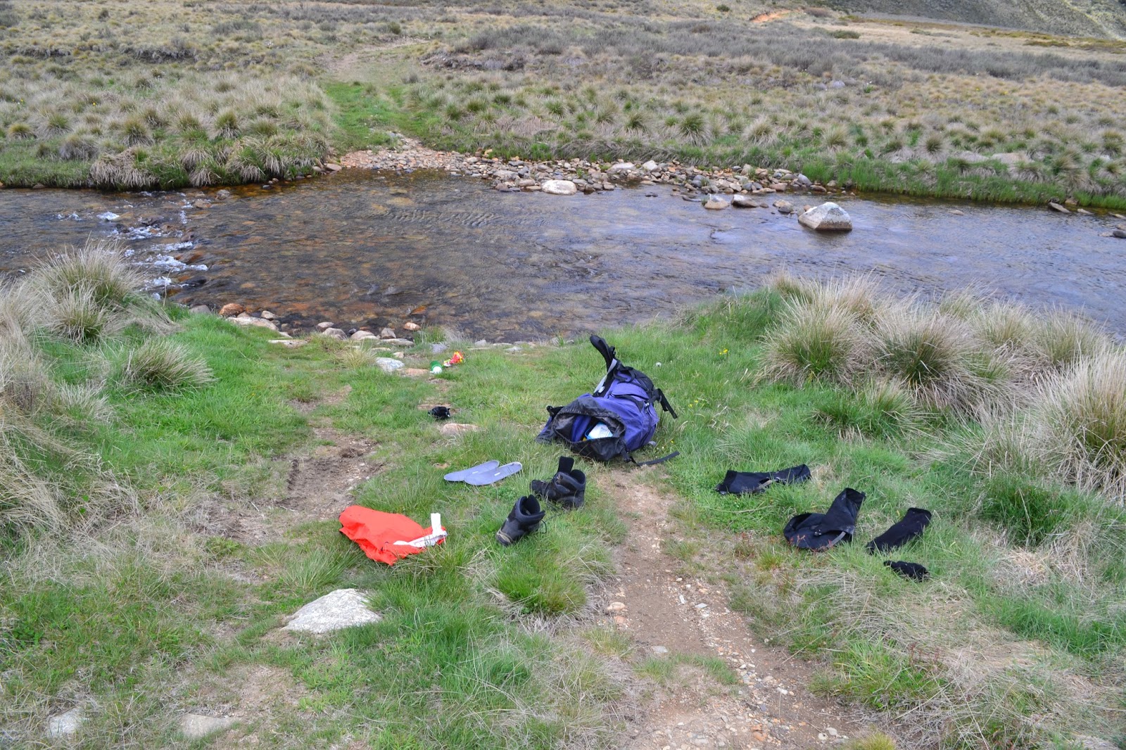
Not to worry about the rain however, first I had to cross the Tumut River. The river is about 7 metres wide at this point according to my notes, and to be honest I totally stuffed this crossing up. What I should of done was wade in with my boots on, taking a path across the on the river pebbles that lined the old vehicle ford, yeah it was knee deep but it was nothing to worry about. But instead of the sensible option I decided to try and rock hope across on some boulders that were just under the water level, confident that my gortex lined boots would stay dry so long as I was quick enough, yeah what could go wrong! I managed to get to within a couple of metres of dry land before the inevitable happened and I went arse over on the slippery submerged rocks, as I hit the water on all fours I had a choice of my old walking poles or my DSLR, the poles got sacrificed for the photos and I hoisted my camera out of the water while watching my poles float off towards Tumut Pondage never to be seen again.
 |
How the hell did I manage to fall over crossing that? The Tumut River.
 |
| Climbing away from the Tumut River, that's the Farm Ridge Firetrail climbing up Farm Ridge on the other side of the valley. |
|
So, I'd managed to more or less complete the walk without the getting rained on only to take an unexpected dip in the icy Tumut River, you gotta laugh. Once on dry land I dropped all my gear and surveyed the damage, lost poles weren't a real concern as they were pretty well stuffed anyway, more of a concern to me was that I felt like I was basically littering but there was nothing I could do about it now. My camera case was a little wet but through some good fortune I'd invested in a water resistant cover to protect the camera as I walk with it around my neck, and while its far from waterproof it had managed to keep it dry today. My socks, boots and gaiters were soaked but that was no disaster, a new pair of socks, hang the gaiters off my pack, a bit of scroggin and I was on my way up the final climb of the walk. The climb from the Tumut River back up to Round Mountain Carpark is solid but not overly hard, just a constant trudge up the now dusty fire track with great views. Now the plan I'd had in the back of my mind was to break the climb with a stop at
Round Mountain Hut, but after my unplanned swim and break at the river I decided to keep climbing, somewhat unbelievably the billowing purple clouds had yet to drop anything on my head yet. As I crested the last rise now on Round Mountain Firetrail, and Cabrumurra Road and the ute came into view, I allowed myself to think that I was actually going to complete the walk without getting rained on. And so I arrived back at the ute, threw my gear in the back and headed off up to Canberra to meet up with Sam, before I'd even made my way out of the carpark the heavens opened and it pissed down for the whole two and a half hour drive to Canberra, sometimes you get lucky hey!
 |
Round Mountain Hut.
 |
My last look at Mount Jagungal.
 |
| Cabramurra Road, check out the clouds. |
|
|
The Dirt.
This was a hard walk (for me) over two days, spread over three would make it fairly easy but unfortunately I couldn't get the time off. The trails are mostly easy to follow firetrails that are fairly well benched and with reasonable gradients, the exception is the side trip up Mount Jagungal, it is probably best described as a rough pad. The three mountain huts that the walk passes all provide great shelter and there are numerous places on the walk where you could pitch a tent. The only section that you have to carry much water is along Farm Ridge, with no water available for 8.5 kilometres until you reach the Tumut River. I used the notes from
Top Walks in New South Wales by Ken Eastwood along with Rooftop's
Kosciuszko National Park Forest Activities Map Jindabyne - Khancoban and my GPS maps. I enjoyed this walk and will hopefully be back again one day to explore the Jagungal Wilderness a bit more. If you want to read more of my Mount Jagungal Walk I've written up a
crazy guy journal.
 |
| I've just left the car park. |
 |
| The very comfortable O'Keefe Hut, the walls are lined with old newspapers some of which date back to the 1930's. |


No comments:
Post a Comment