 |
| Cape Schanck from Bushrangers Bay. |
Another Saturday, another blue sky day in Melbourne in winter, that's not a phrase that should come naturally I don't think. Now it might not sound natural but that's what we have this winter so far and last Saturday was no exception, although while it was clear and sunny don't think it was warm, driving down to Mornington for breakfast the temperature was reading -2 outside the ute. This walk is another from the House of Chapman and it requires a car shuffle, so after breakfast Sam drove down the Mornington Peninsula with me and dropped me off at the start point of today's stroll at Highfield.
 |
| My walk today started off pretty easily. |
It was around 11am when I eventually set off on today's stroll, heading along the short access road to the old Highfield Homestead. The first few kilometres of my walk today was through old reclaimed farmland, the open fields largely covered by bracken now. If you want to see Kangaroos on the Mornington Peninsula then this is a pretty good spot to go I think, the roos love the open grassy paddocks although during the day they tend to retreat to the surrounding bush a little. After passing the old homestead I continued on an old vehicle track in a northerly direction which, somewhat disconcertingly was the exact opposite direction to which I needed to be heading to get back to my ute which was parked over at the Fingal Picnic Ground.
 |
You can just make out the blue water of Bass Strait in the distance.
 |
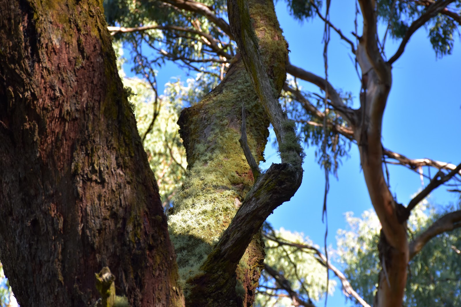
The old shearing shed at Highfield.
 |
 |
Initially I headed north along old vehicle tracks.
 |
 |
Turn left (north) off Long Point Firetrack along this un-signposted track.
 |
| And then turn right (east) down this un-signposted track to meet Two Bays Walking Track. |
|
|
|
|
|
|
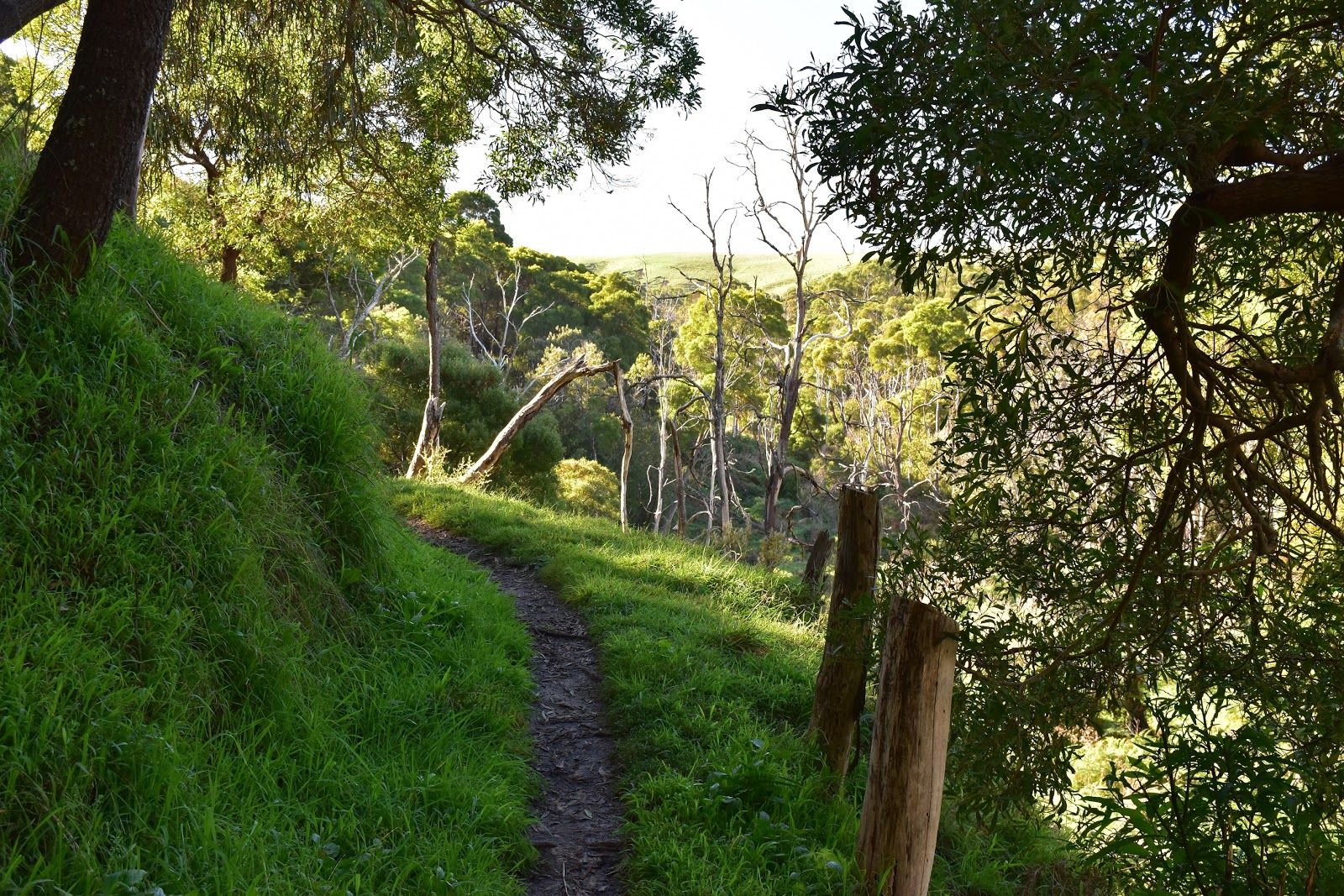
After tracking along north for a around 3 kilometres I picked up and un signposted grassy firebreak and dropped down into the valley of Main Creek to meet up with the Two Bays Walking Track. While the signposting to this point had been a little hit or miss, from here on it was it was pretty good for the rest of the day. Once on the Two Bays Track I was also heading in the general direction of the ute for the first time today. With the Two Bays Track generally sidling along the valley of Main Creek the vegetation was a little more lush along here, with plenty of ferns and bracken lining the track. Heading south the path crossed a few damper side gullies on duck boards and with the occasional well spaced bench seats, this is a very nice spot to walk. The benches generally allowing you to gaze across Main Creek to the rolling green farmland towards Flinders while you get your breath back, although really while I was climbing up to the crossing of Borneo Road the gradient is very gentle so it's hardly a lung buster.
 |
The shallow valley of Main Creek is a slightly damper environment.
 |
 |
Once on Two Bays Track there are no navigational difficulties.
 |
Two Bays Track generally sidles along the valley high above Main Creek.
 |
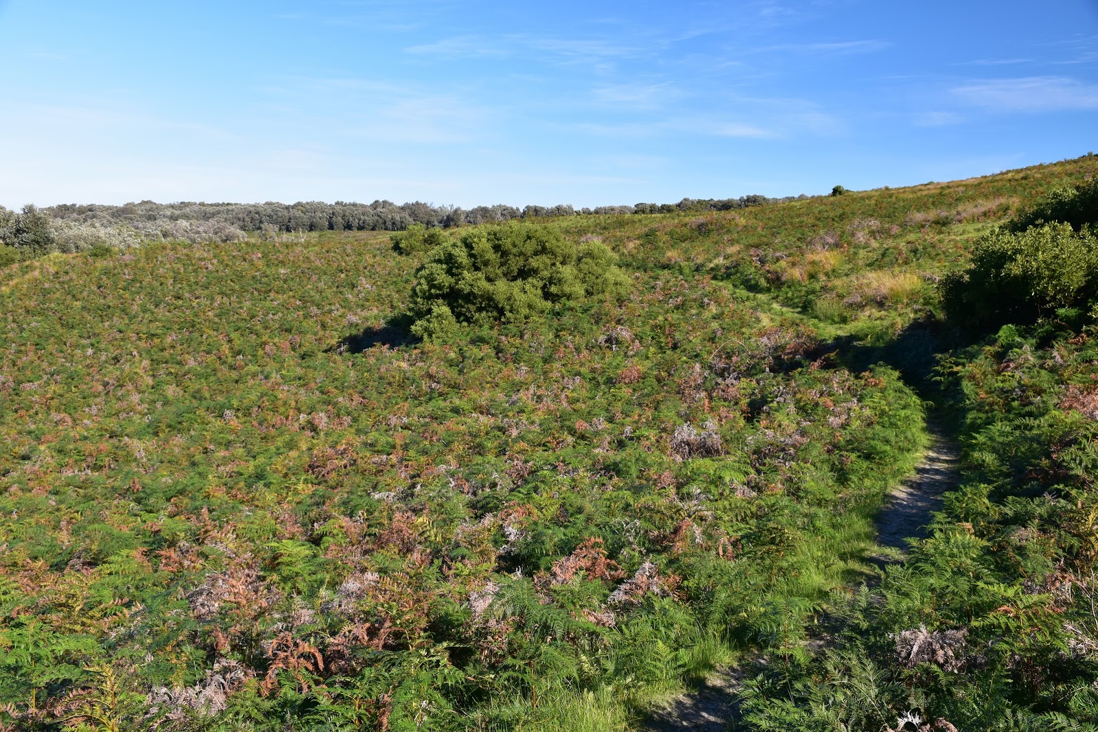
Climbing easily to meet Borneo Road my route passed through some open areas.
 |
| The local's sometimes popped their heads up for a look. |
|
|
|
|
|
Crossing Borneo Road the track climbed a little before starting the long descent down to Bushrangers Bay. This section of Mornington Peninsula National park is extremely narrow and it isn't uncommon along here to see open farmland to both sides, although for the most part the actual path is through reasonably dense coastal scrub. Bushrangers Bay was now getting fairly close, (when I'd started walking today Bass Strait was a blue smudge on the horizon) and dropping off the track a bit I was getting some nice views down Main Creek towards the white sand. After around half an hour after crossing Borneo Road I met the short side track down to the beach at Bushrangers Bay, dropping down the somewhat alarmingly large number of steps I set foot on sand for the first time today.
 |
Heading for Bushrangers Bay the coastal bush continued.
 |
Have I mentioned that it was a pearler of a day?
 |
Bass Strait is getting closer now.
 |
 |
| The white sand of Bushrangers Bay, with Elephant Rock in the background. |
|
|
|
|
Bushrangers Bay is a fairly remote beach as far as Mornington Peninsula Beaches go, to get to it requires a walk from either Borneo Road or Cape Schanck of around 2 to 3 kilometres. Normally the walk would pretty much guarantee that you wouldn't be sharing the sand with too many other punters, however maybe because of the stunning blue sky day today the beach was very busy. The good news (for me) was that with Main Creek flowing fairly well into Bass Strait it meant that most of the punters were stuck at the bottom of the access track not wanting to get wet feet. After rock hoping across the creek I was suddenly only sharing the arc of white sand with a handful of other punters, all good then. This is a beautiful little beach, bookended at one end by a long line of cliffs stretching down to Cape Schanck and at the other end by the hulking, black cliff lined Elephant Rock and the cliffs leading around to Flinders. With the beach being a stark contrast to my walking so far today through the coastal scrub, I got a bit excited taking what I was confident would one great photo after another, hmmm.
 |
Another one of Cape Schanck from Bushrangers Bay.
 |
The headland at the southern end of Bushrangers Bay.
 |
 |
| Looking towards Picnic Point (and Flinders) from Bushrangers Bay. |
|
|
|
Eventually I decided that I'd better leave the beach before my SD card went into melt down and, after rock hoping back across Main Creek I re-climbed the steps back up to Two Bays Track and headed off towards Cape Schanck. After crossing Burrabong Creek Two Bays Track climbs very steeply back up to the cliff tops were it stays all the way to the Cape Schanck Car Park, now while I was walking along the cliff tops it didn't exactly translate into views out over Bass Strait, well not initially anyway as the track past through a lot of thick coastal vegetation. Nearing Cape Schanck though Two Bays Track does pass by a couple of spots that allow views along the coast to Cape Schanck, and then eventually back towards the now distant Bushrangers Bay. Passing straight though the car park I headed down towards the board walk out onto the cape.
 |
Mornington Peninsula National Park occupies a fairly thin strip of land between Borneo Road and Cape Schanck, the farmland has its own beauty though.
 |
Cape Schanck
|
|
Dropping down to Cape Schanck I met up with a lady who was out taking a few photos like me, seeing a fellow amateur photographer I said hello. The lady, on seeing the camera around my neck and obviously thinking that this bloke must know what is doing, started asking my a few innocuous questions about my camera, you know what kid of camera have you got to which I answered a Canon I think (actually it's a Nikon). Not discouraged by my ignorance the next question was what model is it to which I replied that it's got a 5 in it I think. Now this nice lady must of felt sorry for the big Feral Bloke who was quite obviously a bit simple because she didn't run away looking furtively over her shoulder, she then informed me that we have the same camera. Great I though I can make some small talk about my camera, how could I mess that up....well I then preceded to wax lyrical about my new camera, informing the lady that the only issue was with the whizz bang fold out LCD screen being a bit of a pain and how I liked the setup on my old camera better. The lady now looked at me like I was on day leave from the local asylum, gently she informed me that the screen on my camera actually folds out, pivots and then fits back into it's slot on the back of the camera, now with the screen facing out (just like my old camera), bugger me. You can safely be assured that if you see any good photos on my blog it's due to good luck and not talent or knowledge on my behalf, a photography nerd I'm not.
 |
 |
Looking back towards Bushrangers Bay from near Cape Schanck.
 |
The board walk down to the cape.
 |
| This was prime whale watching territory this afternoon. |
|
|
|
Suitably embarrassed by my total lack of photographic knowledge I mumbled my goodbyes to my new friend and scurried off down the steps to the tip of Cape Schanck. This place was really busy this afternoon, with some Humpback Whales sometimes making an appearance out in Bass Strait the boardwalk made a perfect place for the punters to stop and try and view them. Squeezing past the punters gazing out to sea I wandered out to the tip of the cape. To be honest it was a little hard to get a good photo here as there were just too many people around, I think if you want to get a good photo down at Cape Schanck then I'd be visiting around sunrise. After poking around for awhile I made my way back up the steps and headed towards the historical lighthouse precinct. You use to have to pay to enter this precinict but Parks Vic have opened it up now and entry is free, always a good thing. Apart from the lighthouse there is a small museum and café, although the café wasn't open when I visited. You use to be able to stay in the lighthouse keepers cottages but parks are in the process of renovating them at the moment and the inside word is that they may not be open for accommodation for a couple of years yet. Lighthouse tours can be organised from the museum if you are interested.
 |
The now distant Bushrangers Bay and Picnic Point, bathed in the late afternoon sun.
 |
 |
This old cottage now houses a small museum.
|
|
|
Foregoing the lighthouse tour this afternoon I headed off on the last section of my days walk to Fingal Car Park. This short section had me following Cape Schanck Road for a few hundred metres before once again heading off to be enveloped by the thick coastal scrub. I was now walking along the tops of the west facing cliffs of the cape and being late afternoon I was looking straight into the low sun. My path led my past numerous spots where I could duck though the trees and get views down the length of the Mornington Peninsula. Leaving the coast for the last time today I headed inland a bit towards Fingal Car Park, this place use to be called The Pines (although maybe that was just my surfie mates that called it that) and I was guided back to the ute by the radiata pines glowing gold in the setting sun.
 |
Heading off on the last section of my stroll I followed Cape Schanck Road for a few hundred metres.
 |
The road bash could of been worse I suppose.
 |
Once back in the scrub I was able to get some views along the cliffs towards Fingal Beach.
|
|
|
The Dirt.
I walked 19.5 kilometres at an average speed of 3.9 kph today, with 478 metres of climbing I'd rate this as a medium grade walk, although it's getting up there distance wise. As I mentioned earlier this walk is written up in the house of Chapmans Day Walks Victoria book. It's possible to shorten this walk in a myriad of different ways, consult the Parks Vic online stuff if you haven't got the Chapman book. The initial north bound section of this walk needs a bit of navigation but once you hit Two Bays Track navigation isn't an issue, if you are unsure on the initial bit then you can just head east into the Main Creek valley and you will intersect the Two Bays Track. Bushrangers Bay is a beautiful little beach but it's not really suited for swimming, low tide and calm seas may provide some snorkelling opportunities but you'd want to be a pretty competent swimmer in my opinion. I'm thinking the Chapman's finished this walk at Fingal Car Park because you use to have to pay to park at Cape Schanck Car Park (and they know most bushwalkers are tight), but with the parking at the cape now free it might make a better place to finish as the last few kilometres to Fingal Car Park feels like a bit of an add on.
Relevant Posts.
Mornington Peninsula Coastal Walk, Mornington Peninsula National Park, 2015.
 |
| My last look west down to the end of the Mornington Peninsula. |
 |
| The glowing radiata pines guided me back to the ute after what had been a great day of winter walking. |


No comments:
Post a Comment