 |
| I've made it....arriving wet and bedraggled at the Namadgi National Park visitor centre at lunch time today:) |
 |
| Rain and rocks, the story of today on the AAWT really. |
 | ||
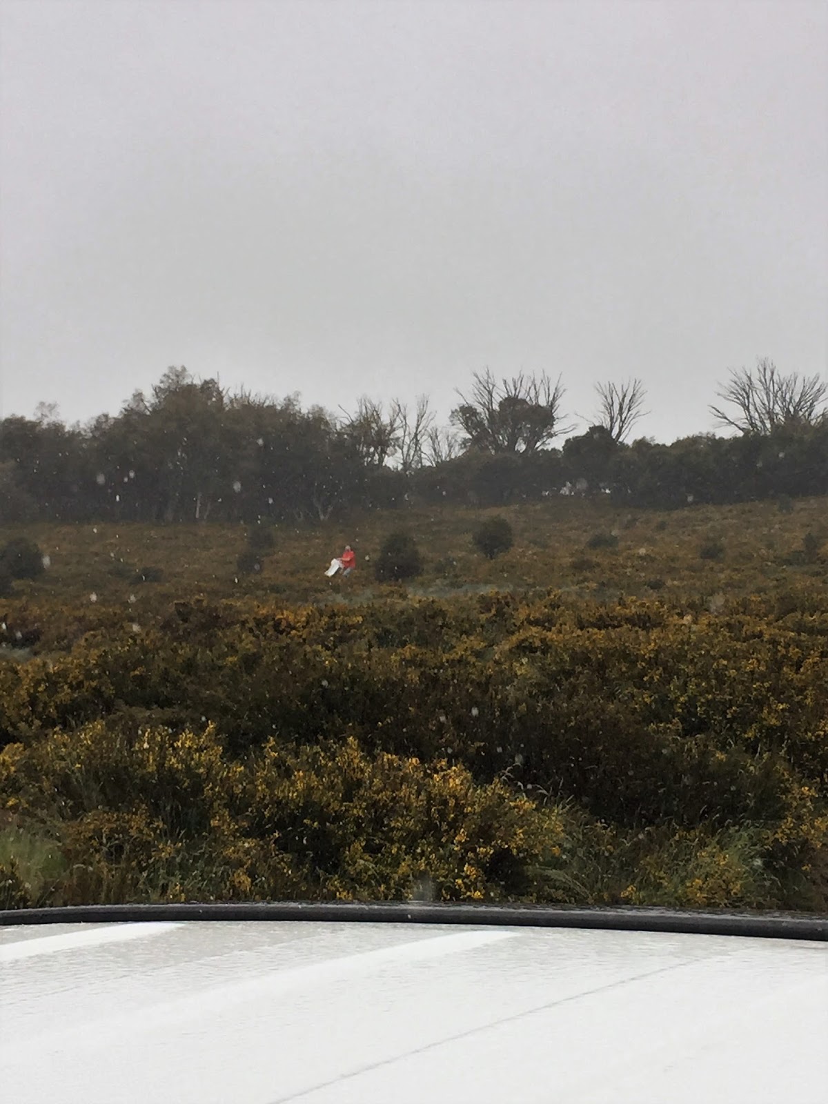
There wasn't much in the way of long time views today.
|

 | ||||||||
|


 | ||||||||
The grey blobs on the tree line are Eastern Grey Kangaroos, they looked about as wet and bedraggled as I looked this morning.
|


 | ||||||||||
Dropping down towards the visitor centre, I'm thinking that this would be a very nice walk in good weather.
|


 | ||||||||||
Cypress Pine Lookout.
|


 | ||||||||||
The Murrumbidgee River flows through that valley, I'd waded across the river days ago many kilometres further up stream.
|


I walked 15 kilometres and climbed 390 metres on a medium grade days walking on the AAWT. After my 39 days walking the AAWT I walked 732 kilometres and climbed 28,535 metres on what has been the hardest sustained walking that I’ve ever done. Needless to say finding water wasn’t a problem today, camping looked like it would of been possible at Bushfold Flats and there is a dam there to get some water to treat. Navigation was a little vague across the grassy Bushfold Flats but that was probably more to do with the limited visibility than anything else. With the rain bucketing down I didn’t even pull the phone from it’s dry bag today so can’t help much there. I was using Mr Chapman’s notes and map as well as Rooftop’s Namadgi-ACT South Activities Map.
Over the years I’ve done harder days of walking than those I did on the AAWT, Mt Anne in Tasmania and Mt Bowen on Hinchenbrook Island in Queensland (which I’ll post about at some stage) spring to mind, but to back up, day after day in conditions that were sometimes not the best, on tracks that are quite often indistinct and overgrown, was hard. The section from Walhalla to Mt Hotham is particularly hard going, with at least one steep climb pretty much every day and lots of overgrown pads it made for a fairly hard start to the walk. I was a bit surprised to find that the AAWT between Mt Hotham and Thredbo to be in pretty good nick, most of the tracks were clear and well marked which is surprising because the AAWT traverses some very remote and rarely visited country on this section (the country is that remote that I couldn’t even pick up a signal on my little AM/FM radio along here for quite a few days). As my fellow AAWT alumni Anne told me as we crossed paths near the border, the Thredbo to Tharwa section is a bit like a holiday, the walking up here was as easy as it gets and there are plenty of huts and a few roads around if things do go pear shaped.
To walk the AAWT you need to be able to navigate in what is sometimes almost trackless scrubby terrain, that said it was probably easier navigation wise than I’d feared that it might of been. The toughest sections were the short section between Thomson Valley Road and Upper Thomson Road, the top of Mt Shillinglaw and Selwyn Track between Harry Shephards Track and East Buffalo Road, oh yeah, I almost forgot the Razor Viking section, that is a bit vague in spots although it's better than it use to be I think. I only ever used John Chapman's notes and map along with my compass and GPS to get me through each day, at night I’d break out my other maps and check out what was in store for the next day (keep in mind that I’ve done quite a few of the tougher sections more than once over the years so I had a bit of on the ground knowledge). Unlike some other long distance walks the AAWT has variety of different markers and signposting along it’s length, everything from the diamond shaped old markers to more modern triangle markers of differing colours (usually yellow or orange, although the change of direction markers are grey on a treated pine post normally about 300mm above the ground). As well as the official markers there are a variety of unofficial signposts and marker’s including cairns, chain saw blazes, messages scratched into burnt trees and hand written messages on existing signposts. It can be a fairly cryptic walk and you need to be alert to clues that you are heading the right way sometimes, this is particularly so on the Victorian section.
I planned and locked in for this trip for at least a year before setting off. Once I committed myself to the walk and organised the time off work then I concentrated on making sure all my gear was in good working order and organising my food drops. I used John Daly's AAWT itinerary out of his Kosciuszko book as a base line which worked pretty well, I found that I’d generally get ahead of his schedule (and that was the theory) and arrive at my next food dump with a day or two’s supplies up my sleeve. I split the walk up into eight sections which were;-
Walhalla to Champion Spur
Champion Spur to Mt Speculation
Mt Speculation to Mt Hotham
Mt Hotham to Benambra-Corryong Road
Benambra-Corryong Road to Cowombat Flat Track
Cowombat Flat Track to Thredbo
Thredbo to Kiandra
Kiandra to Tharwa
I left food on Champion Spur Track as it is a little quieter than the nearby Fiddlers Green, you could get a 2wd in here in dry weather with care.
I had to put in my Mt Speculation food drop before winter as the tracks would be still closed when I set off, last time I went into Mt Speculation along Speculation Road it was very rough, low range 4wd however every other time I’ve been it’s been reasonable, so I guess the best idea would be to check with Parks Vic about the latest track conditions. I walked my food drop down passed the locked gate towards Wonnangatta a few hundred metres and picked it up on my way down to Catherine Saddle to camp.
Sam bought supplies up to Mt Hotham when she drove up to meet me there so I didn’t have a food drop, that said the people at The General said that they’d be happy to hold a food drop for me (you’d have to be staying there obviously)
Benambra-Corryong Road is easily accessible by 2wd. I placed my food drop and water a couple of hundred metres west of the road, the camping is very good here, much better than down on Morass Creek, the other alternative down at Stoney Creek looked pretty shitty to me as well as it appeared that the blackberries have taken hold and the camping would be very close to the road.
I put my food drop in on Cowombat Track where the AAWT comes in near Stoney Creek, there’s plenty of good camping off the track and normally there is water, you’ll probably need a 4wd of some description in here. I placed this drop when Sam came up to Mt Hotham to meet me on Melbourne Cup weekend which meant the track was open, if the track is still closed it’s a pretty easy walk in to place a drop.
Like Mt Hotham, Sam bought supplies up to Thredbo when she came up to meet me.
My Kiandra food drop was up Pollocks Gully as far as I was allowed to drive, I then placed the food drop under some alpine scrub, there were a lot of food drops scattered around under these bushes but they were not visible from the Snowy Mountains Highway or Tabletop Trail so would probably only be discovered by other AAWT walkers, so it should be safe enough.
So, using Mr Daly’s itinerary as a base line and placing these drops meant that I never had to carry more than seven days worth of supplies which suited me nicely, my days of slogging through mountains with 10 or 11 days worth of supplies in my pack are probably over (he say’s more in hope than reality!). Apart from food and other essentials, I’d always put a couple of pairs of fresh socks in my drops which no doubt helped keep my feet in good order. I’d also photocopied and laminated Chapman and Daly’s notes so left them, and any upcoming maps, in the relevant food drops as well.
Well that’s about it as far as the AAWT goes. I suppose the question that has got to be asked is would I do it again? The answer is yes, with a qualification. Now I’ve done it I’d want to do it differently to keep things fresh for me, so with that in mind I’d probably hold off until I retire from work and then spend a lot longer completing the journey (with a lot more rest days and side trips). I’ve always fancied having a go at it in winter so that might be an option in the future, if I’m still capable and fit enough when I can eventually pull the plug on work? In the mean time I’m looking at the Heysen Trail in two or three years, we’ll see….
Relevant Posts.
AAWT, Previous day, December 2107.
AAWT, Day 1, October 2017.
Canberra, Lake Burley Griffen-Central Basin, 2015.
 | ||
Two hours after finishing my stroll I suffered through a massage, I still wasn't fitting into the one size fits all gear too well - at least I didn't put on weight like I did when I walked Kokoda a few years ago;)
|

 |
| Retrieving my Kiandra food drop container, Sam wasn't even leaving the safety of the ute. |


Thanks Kev, for a thoroughly entertaining and detailed blow by blow account of your trip. Loads of useful info and a few good laughs along the way. Cheers!
ReplyDeleteNo worries Baddog, I hope it was useful to you. Best of luck on your walk - I look forward to reading about it!
DeleteHi Kevin, thank you so much for your blog, it has made the process of planning my walk so much easier, and I have found myself looking forward to reading your insights about each section. Your personal voice and perspective come through strongly in your writing and it makes this whole journey feel safer and more enjoyable. Your photos are great and the information is so helpful. I hope you know that you are making a huge difference to my life and to those of many others too! Thanks for everything. So much love and respect for what you do.
ReplyDeleteNo worries, I'm happy that my sometimes incoherent ramblings were helpful :)
Delete